
Bugyals are alpine pasture lands, or meadows, in higher elevation range between 3,300 metres and 4,000 metres of the Himalayas in Uttarakhand, India where they are called “nature’s own gardens”. Here the topography is either flat or sloped. The surface of these bugyals is covered with natural green grass and seasonal flowers. They are used by tribal herdsmen to graze their cattle. During the winter season the alpine meadows remain snow-covered. During summer months, the Bugyals present a riot of beautiful flowers and grass. As bugyals constitute very fragile ecosystems, particular attention needs to be given for their conservation.
Bugyal, when literally translated, means meadow. A Bugyal is high altitude grassland that makes for an excellent grazing ground.
They are biodiversity hotspots between snowline and treeline.. They preserve many rare varieties of plants and animals. With damage to these Bugyals we are loosing precious germplasm. They are treasures of medicinal plants. Like forests the work as carbon sink. Many rich cultures developed in these Bugyals. Both flora and fauna are rich here. they boast of rare animal species.
Conservation issues
Bugyal is a fragile ecosystem and it is essential to maintain a balance between ecology and environment. In this context a court case was filed by the public objecting to erection of the prefab houses and by introducing non-biodegradable matter in the upper meadows of the bugyals by the tourism departments. It was averred that the peace and tranquility of the bugyals was getting affected. The court had ordered that the polluter must pay for the damage to environment based on absolute liability principle, which covered payment of damages to the affected people but also to compensate for all costs for restoration of the degraded environments.
Overgrazing is great danger for Bugyals. It should be regulated.
Tenting
These are often tourist attractions. Religious tourism also flourishes here.Tourist pitch tents and inflict great damage to these meadows.
Global warming has its influence on these meadows.
Here are some of the most beautiful Bugyals in India –
Auli Bugyal
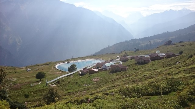
Auli Bugyal in Chamoli district,a highland pasture in the Garhwal Himalaya is known as the “Heaven Terrace”.It lies in an elevation range of 2,500–3,050 metres (8,200–10,010 ft) with ski slopes located at an elevation of 3,048 metres (10,000 ft). On either side of the bugyal there are coniferous, oak and deodhar forests which limits the wind velocity to acceptable 16 kilometres (9.9 mi) for skiing.
Bedni Bugyal
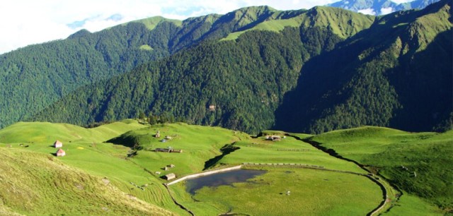 Situated at the border of Garhwal and Kumaon in the Chamoli district of Uttarakhand, Bedni Bugyal offers the majestic views of the Trishul Parbat. It is situated at an altitude of 11,000 feet. The trek to Bedni starts from Loharjung and is ranked easy on the difficulty level, since one mostly passes through villages to reach this lush meadow. On route to Bedni, Wan is the last village that you cross; it is also the last point where you could get accommodation. Bedni Bugyal is a part of the Roopkund Trek itinerary too. So to witness the verdancy of this meadow, you could either choose the easy trek to Bedni or go further up to Roopkund which is at a height of 15,600 feet.The route to Bedni Bugyal is through exquisitely beautiful forests of rhododendron and oak. It is a perfect campsite and the Bedni Kund offers the most riveting reflection of the Trishul Peak.
Dayara Bugyal
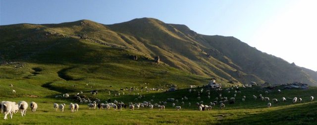
Dayara Bugyal is a full-fledged 7 days trek that again is rated easy. At an altitude of 12,000 feet, Dayara is easily among the top 2 most beautiful high altitude meadows in the Himalayas. It is breathtakingly serene and looks like the most ideal setting for a fairytale. It can be reached from Haridwar via Barsu, and Barnala meadows are where Dayara begins. It is a moderate 5 kms trek from Barnala to Dayara through dense forests.
Vast stretches of lush green captivate your senses from the word go! The end of the climb gives way to undulating meadows with the Himalayas making for the perfect backdrop. From the top one can get mesmerizing views of the Gangotri I, II, III, Srikanth, Rudregaira, Black Peak and many other unnamed Himalayan peaks. The highest point of the Dayara Bugyal Trek is Bakaria Top that offers 360 degree panoramic views of the Greater Himalayas.
Panwali Bugyals –
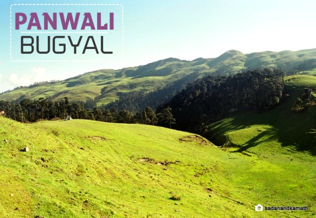 Located between Gangotri and Kedarnath, Panwali Bugyals are at heights ranging from 9,000 feet to 13,000 feet. These refreshing grasslands lie on the old pilgrim trail from Gangotri to Kedarnath and hence can be reached from both the sides. For those taking the Gangotri route the starting point is Mala which is 2 kms from Bhatwari. While traveling from the other side, the starting point is Triyuginarain. The nearest railhead is at Rishikesh from where there is a road travel of 154 kms to Ghuttu.
The arrival of summer dots these Bugyals with a plethora of colors owing to the blooming of flowers and herbs. These Bugyals are a part of the Panwali Kantha Trek.
Here see a great NDTV report about bugyals.
Links and Sources:
http://www.adventurenation.com/blog/the-bugyals-meadows-of-uttarakhand/
wikipedia
NDTV Report

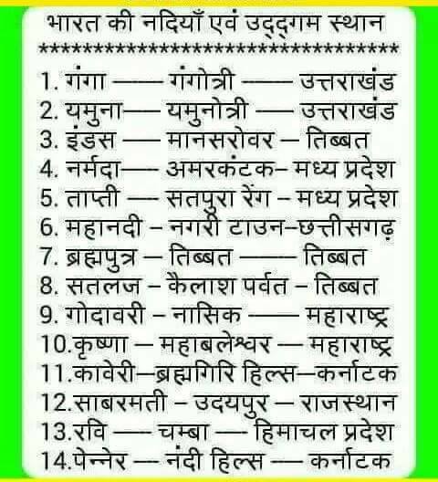 Source: Fb Post of Sadhna Sharma
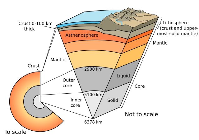 below.


