
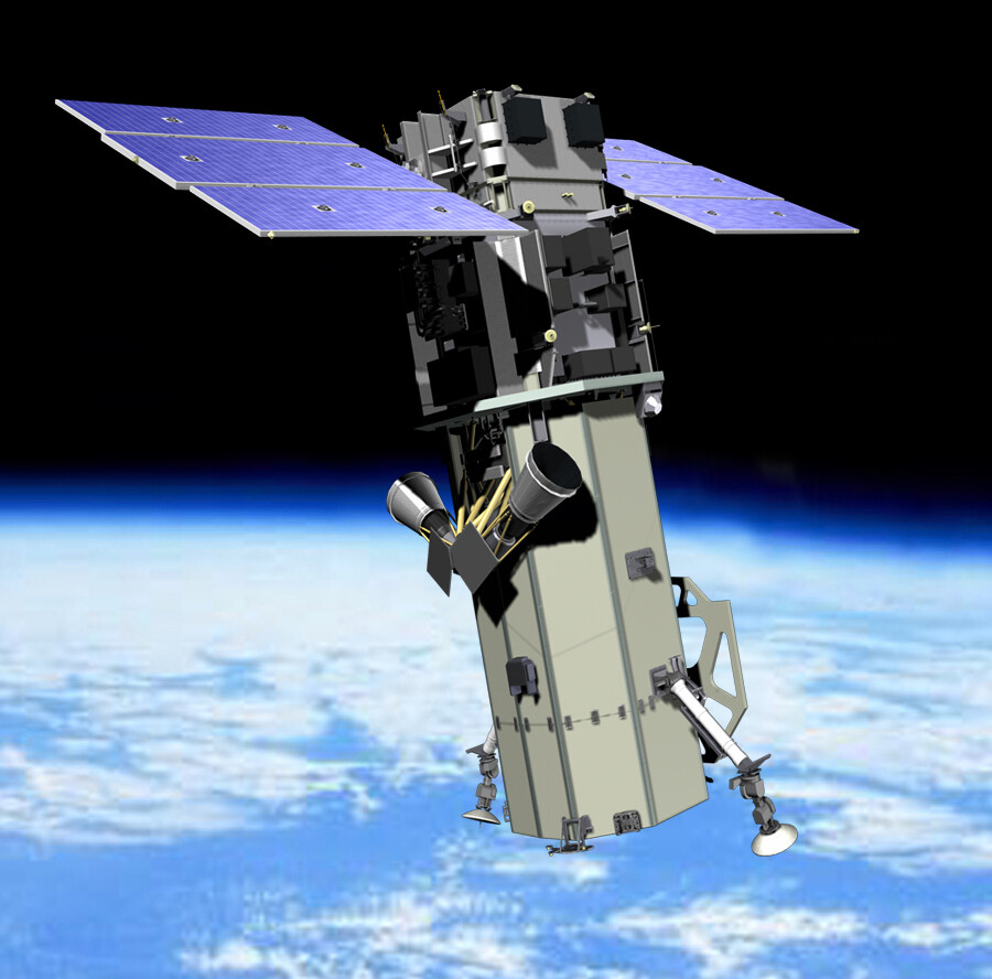
 Ball Aerospace built WorldView-2 was launched at 18:51 GMT on October 8, 2009. DigitalGlobe partnered with Boeing commercial launch services to deliver WorldView-2 into a sun-synchronous orbit. WorldView-2 is the latest high-resolution, remote-sensing satellite; launched on a Boeing Delta II 7920 rocket from Vandenberg Air Force Base in California. DigitalGlobe ground station received a downlink signal confirming that the satellite successfully separated from its launch vehicle and has automatically initialized its onboard processors. WorldView-2 is currently undergoing a calibration and check-out period. DigitalGlobe expects imagery products and services from WorldView-2 to be commercially available in approximately 90 days. WorldView-2 features advanced agility and accuracy, industry-leading capacity, and eight-band multispectral imagery. WorldView-2 will collect multispectral imagery at 1.8 meter resolution and panchromatic imagery at .46 meters. The additional band capability supports improved levels of feature identification and extraction and more accurately reflects the world’s natural color.


Total Visitors
- 5,630,650
Search Inside
My You Tube Channel
November 2026 M T W T F S S 1 2 3 4 5 6 7 8 9 10 11 12 13 14 15 16 17 18 19 20 21 22 23 24 25 26 27 28 29 30 -
Visitors on The Site

-
Join 6,676 other subscribers
Fill This Form to Contact Me
Top Posts & Pages
- About Me and This Site
- Waste to Energy in India
- Our Latest Publication in the International Journal of Climatology: Congrats to The Researcher
- Google Blimps & Balloons to Provide Wireless Networks in Africa
- Gond Tribe of India
- Blackwater Rivers: Why are some rivers darker and slow-moving?
- Migration Theories : Lee’s Push Pull Theory
- Geography Study Material for NTA-NET & IAS Exams
- Gujjar Tribe
- Santhal:Largest Tribal Community in India
Being Social
Pages
- Article Submission
- Basics of Geography
- Book Reviews
- Disaster Management
- Field Training and Tour
- Geography Notes
- Geography of Tourism
- Geography Study Material for NTA-NET & IAS Exams
- Geomorphology
- Geomorphology Class Black Board
- Hindi Posts
- Human Geography
- My Projects
- New UGC NET Syllabus-Geography
- Online Class
- Posts on Geography Practicals and Statistical Techniques
- Regional Studies
- Settlement Geography
- Social Geography
- Urban Agro Systems
- Urban Systems
- Useful Links
- Water Resources
- About Me and This Site
Blogroll
Digital Blackboards
My Pages
Other Sites I Am Involved With
Recommended Links
Useful Links


