What is a Region?
A region is an area on the earth’s surface marked by certain properties that are homogeneous inside and distinct from outside it.
A region is defined as a part of the Earth’s surface with one or many similar characteristics that make it unique from other areas. Regional geography studies the specific unique characteristics of places related to their culture, economy, topography, climate, politics and environmental factors such as their different species of flora and fauna.
Planning: Concept
Planning means looking ahead and chalking out future courses of action to be followed. It is a preparatory step. It is a systematic activity which determines when, how and who is going to perform a specific job. Planning is a detailed programme regarding future courses of action.
It is rightly said “Well plan is half done”. Therefore planning takes into consideration available & prospective human and physical resources of the organization so as to get effective co-ordination, contribution & perfect adjustment. It is the basic management function which includes formulation of one or more detailed plans to achieve optimum balance of needs or demands with the available resources.
According to Urwick, “Planning is a mental predisposition to do things in orderly way, to think before acting and to act in the light of facts rather than guesses”. Planning is deciding best alternative among others to perform different managerial functions in order to achieve predetermined goals.
According to Koontz & O’Donell, “Planning is deciding in advance what to do, how to do and who is to do it. Planning bridges the gap between where we are to, where we want to go. It makes possible things to occur which would not otherwise occur”.
What is a Planning Region?
A planning region is a segment of territory over which economic decisions apply. The term planning here means taking decisions to implement them in order to attain economic development. Planning regions may be administrative or political regions such as state, district or the block because such regions are better in management and collecting statistical data. Hence, the entire country is a planning region for national plans, state is the planning region for state plans and districts or blocks are the planning regions for micro regional plans.For proper implementation and realization of plan objectives, a planning region should have fairly homogeneous economic, to zoographical and socio-cultural structure. It should be large enough to contain a range of resources provide it economic viability. It should also internally cohesive and geographically a contagion area unit. Its resource endowment should be that a satisfactory level of product combination consumption and exchange is feasible. It should have some nodal points to regulate the flows
L.S BHAT AND V.L.S. PRAKASARAO REGIONS
Bhat and Rao (1964) proposed a regional framework for resource development. Delineation was done with the help of qualitative maps of distribution of important natural resources. The major regions cut across the state boundaries. However, adminis-trative convenience was not ignored. The scheme included 7 major and 51minor regions. Seven major regions include:
(1) South India
(2) Western India
(3) Eastern Central India
(4) North-Eastern India
(5) Middle Ganga Plain
(6) North-Western India, and
(7) Northern India.
NATH REGIONS
Nath (1965) prepared a scheme of Resource Development Regions and Division of India based at the homogeneity in physical factors, and agricultural land use and cropping pattern. Although the regions cut across the state boundaries, the division is kept within the state limit. Thus the entire country has been divided into 15 main and 48 sub regions. These major resource development regions include:
(1) Western Himalaya,
(2) Eastern Himalaya
(3) Lower Ganga Plain,
(4) Middle Ganga Plain
(5) L Upper Ganga Plain
(6) Trans- Ganga Plain
(7) Eastern Plateaus and Hills
(8) Central Plateaus and; I Hills
(9) Western Plateaus and Hills
(10) Southern Plateaus and Hills
(11) Eastern Coastal Plains and Hills,
(12) Western Coastal Plains and Ghats,
(13) Gujarat Plains and Hills
(14) Western Arid Region, and
(15) Island Region.
SEN GUPTA REGIONS
Following the Soviet concept of economic regions and production specialisation , P.Sen Gupta (1968) presented a framework of economic regions of different order. She started with the discovery of planning units of the lowest order and then grouped and regrouped them to achieve planning regions at meson and macro levels. In her scheme of economic regions, Sen Gupta gave much importance to natural regions and used modality, production specialization and utilization of power resources as bases of delineation. Her 7macro regions are further divided into 42meso regions. These 7 regions include :
(1) North Eastern Region
(2) Eastern Region
(3) Northern Central Region
(4) Central Region
(5) North-West-ern Region
(6) Western Region, and
(7) Southern Region
C.S. CHANDRASEKHAR REGIONS
C.S. Chandrasekhar proposed a scheme of planning regions . Hedivided India into 13 micro and 35meso planning regions. He used thecriteria of physical economic and ecological factors to demarcate the macro planning regions. These regions include:
(1) South peninsular region
(2) Central peninsular region
(3)Western peninsular region
(4)Eastern peninsular region
(5)Central deccan region,
(6) Gujrat region
(7) Western rajasthan region
(8) Aravali region
(9) Jammu & Kashmir and the ladakh region
(10) Trans into Gangetic region & the hill regions
(11) Ganga- Yamuna plain region
(12) The lower Ganga plain region,
(13) North-Eastern region ,
TOWN AND COUNTRY PLANNING ORGANISATION REGIONS
In 1968, the Town and Country Planning Organisation suggested a scheme of planning regions delineated on the principle of economic viability, self-sufficiency and ecological balance at the macro and meson levels. The emphasis of the scheme was to introduce regional factor in economic development. This approach would complement the macro planning at the national level, with a component of regional policies, aimed at reducing regional disparities in the development. The macro- regionalization sought to link a set of areas, rich in one type of resources with areas having complementary resources or even resource poor areas, so that the benefits of economic activity in the former may flow into the latter. These planning regions cut across the State boundaries, but do not completely ignore the basic administrative units. The 13 macro- regions proposed under the scheme include:
(1)South Peninsular (Kerala and Tamil Nadu)
(2)Central Peninsular (Karnataka, Goa,Andhra Pradesh
(3) Western Peninsular (western Maharashtra coastal and interior districts)
(4) Central Decca (eastern Maharashtra,central and southern Madhya Pradesh)
(5) Eastern Peninsular (Orissa, Jharkhand north-eastern Andhra Pradesh and Chatting
(6) Gujarat (Gujarat)
(7) Western Rajasthan
8) ( Aravalli Region (Eastern Rajasthan and wasted Madhya Pradesh),
(9) Jammu, Kashmir and Lad
(10) Trans Indo-Genetic Plains and Hills (Pune Haryana, Himachal Pradesh, West Uttar Pradesh and Uttaranchal)
(11) Ganga-Yamuna Plains (central and eastern Uttar Pradesh, and northern Madhya Pradesh)
(12) Lower Ganga Plains (Bihar and West Bengal Plains), and
(13) North-Eastern Region (Assam and north-eastern states including Sikkim and north Bengal).
Links(s) and Source(s) and Inspiration(s):
Slide Share
Wikipedia


 New York’s Herald Square on May 11, 1896. (Library of Congress/Yestervid)
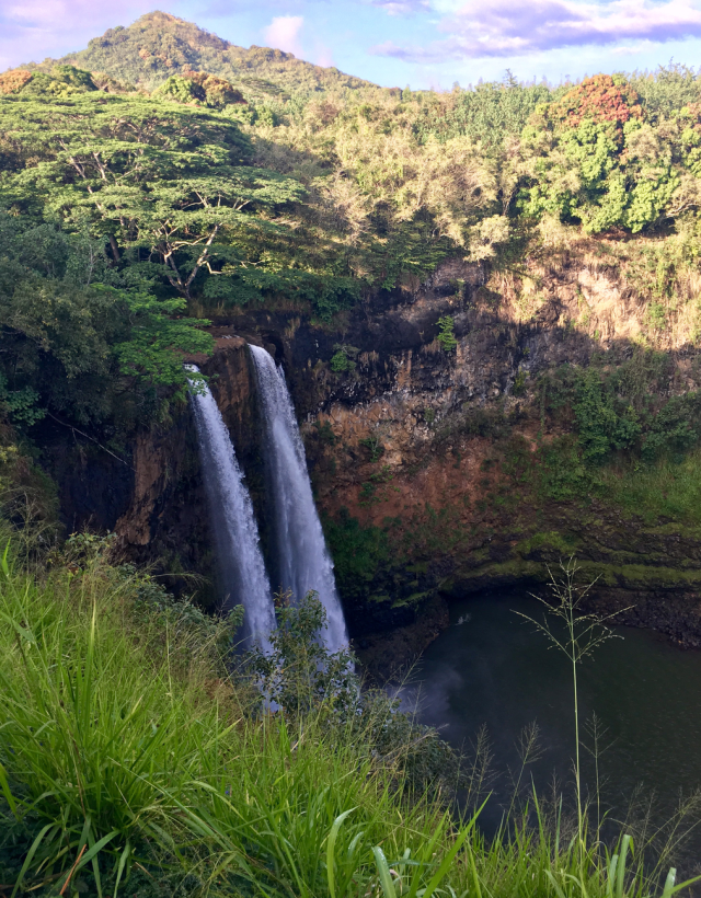 Island of Kaua’i. (c) Jillian Smith


