
This post originally appeared on Spacing Toronto
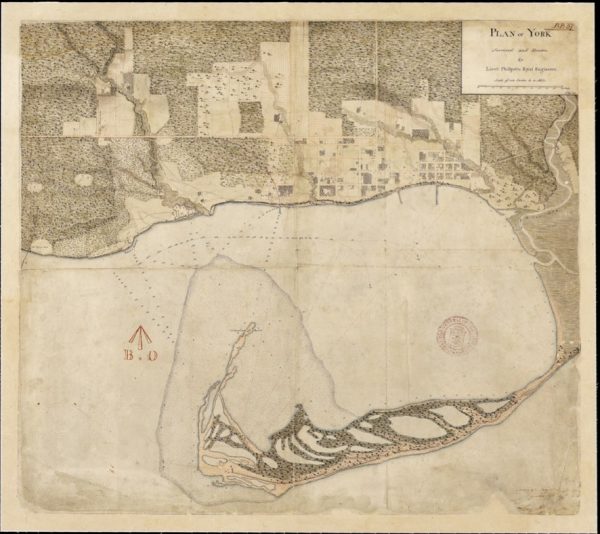
Plan of York Surveyed and Drawn by Lieut. Phillpotts, Royal Engineers. Map courtesy Library and Archives Canada and accessed from http://oldtorontomaps.blogspot.ca/
While gazing over old maps of Toronto, I often long to experience the city before its landscape was so significantly altered. What was it like when the water went right up to Front Street, before infill extended the shoreline by almost a kilometre? How did the Lower Don River feel when it meandered into a vast marshland at its mouth, before it was straightened and channelized?
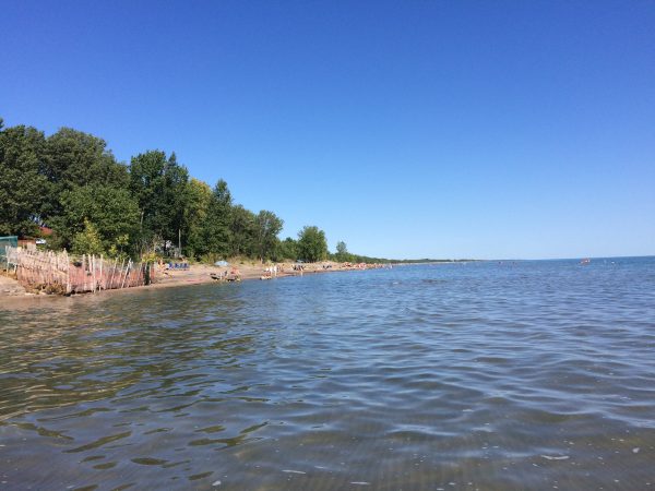
That’s why I was so excited to visit Long Point last week. A sandy peninsula protruding into Lake Erie, Long Point feels like going back in time to an earlier version of Toronto Island — when it was a wild, sandy and ever-changing spit still connected to the mainland.
As Lake Erie shares Lake Ontario’s crumbly shoreline,
View original post 547 more words

