
 The Tehri Dam is a multi-purpose rock and earth-fill embankment dam on the Bhagirathi River near Tehri in Uttarakhand, India. It is the primary dam of the Tehri Hydro Development Corporation Ltd. and the Tehri hydroelectric complex. The dam is a 260 metres (850 ft) high rock and earth-fill embankment dam. Its length is 575 metres (1,886 ft), crest width 20 metres (66 ft), and base width 1,128 metres (3,701 ft).
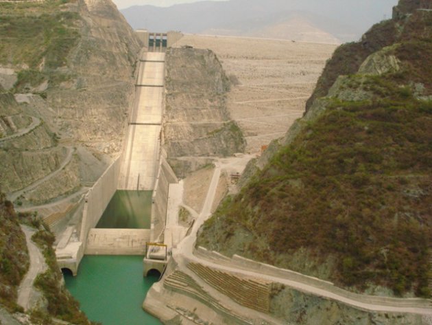
Bhakra 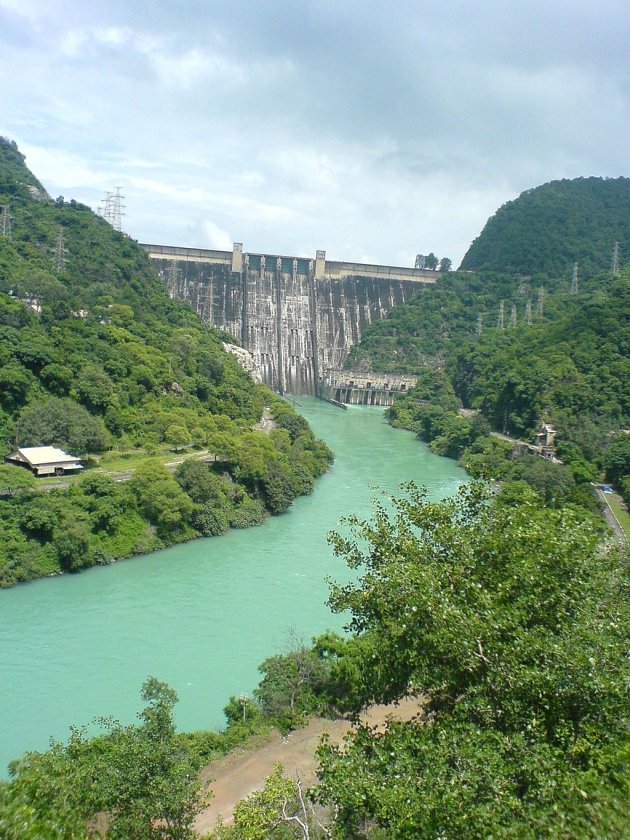 Dam is a concrete gravity dam across the Sutlej River, and is near the border between Punjab and Himachal Pradesh in northern India. The dam, located at a gorge near the (now submerged) upstream Bhakra village in Bilaspur district of Himachal Pradesh, is Asia’s second highest at 225.55 m (740 ft) high next to the 261m Tehri Dam. The length of the dam (measured from the road above it) is 518.25 m; it is 9.1 m broad. Its reservoir, known as the “Gobind Sagar”, stores up to 9.34 billion cubic meters of water, enough to drain the whole of Chandigarh, parts of Haryana, Punjab and Delhi.The 90 km long reservoir created by the Bhakra Dam is spread over an area of 168.35 km2. In terms of storage of water, it withholds the second largest reservoir in India, the first being Indira Sagar dam in Madhya Pradesh with capacity of 12.22 billion cu m.Nangal dam is another dam downstream of Bhakra dam.
The Sardar Sarovar Dam is a gravity dam on the Narmada River near Navagam, Gujarat, India. It is the largest dam and part of the Narmada Valley Project, a large hydraulic engineering project involving the construction of a series of large irrigation and hydroelectric multi-purpose dams on the Narmada River. The project took form in 1979 as part of a development scheme to increase irrigation and produce hydroelectricity. It is the 30th largest dams planned on river Narmada, Sardar Sarovar Dam (SSD) is the largest structure to be built. It has a proposed final height of 163 m (535 ft) from foundation. The dam is one of India’s most controversial dam projects and its environmental impact and net costs and benefits are widely debated. The World Bank was initially a funder of the SSD, but withdrew in 1994. The Narmada Dam has been the centre of controversy and protest since the late 1980s.


